|
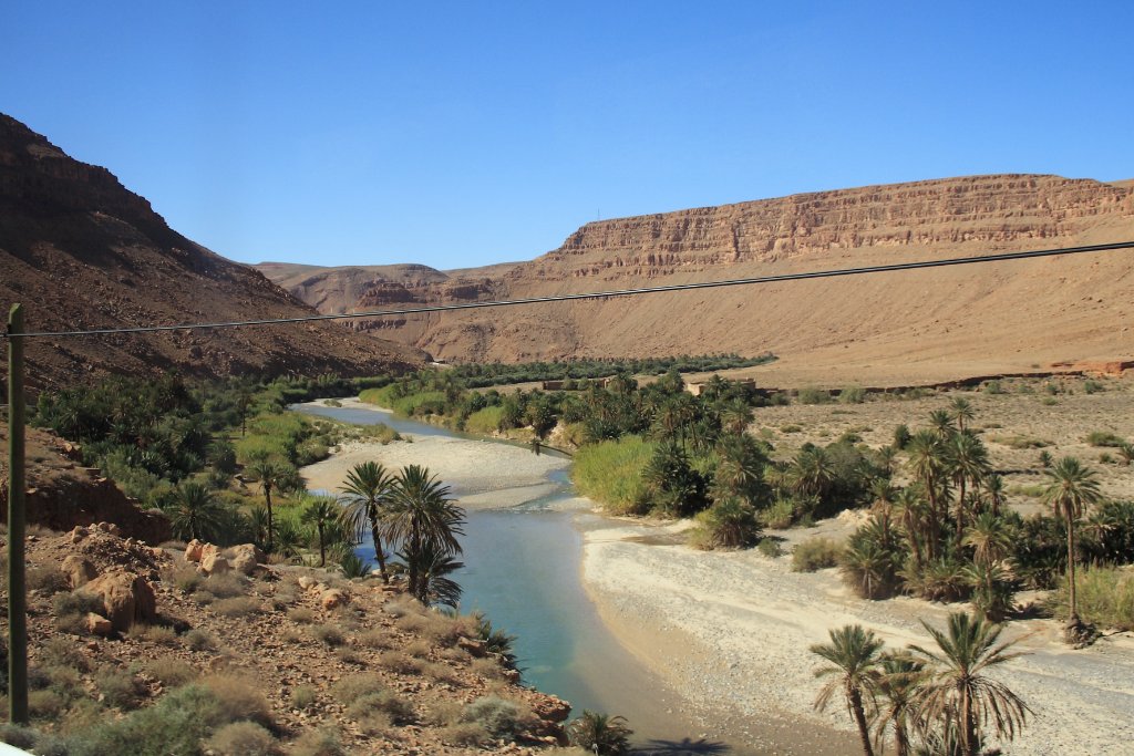 |
| Valley of the Ziz | |
| Latitude: N 32°6'37,18" | Longitude: W 4°21'52,53" | Altitude: 1196 metres | Location: Moha Ou Lahoussine | State/Province: Meknès-Tafilalet | Country: Marokko | Copyright: Ron Harkink | See map | |
| Total images: 18 | Help | |
|
|
|
| Valley of the Ziz | |
| Latitude: N 32°6'37,18" | Longitude: W 4°21'52,53" | Altitude: 1196 metres | Location: Moha Ou Lahoussine | State/Province: Meknès-Tafilalet | Country: Marokko | Copyright: Ron Harkink | See map | |
| Total images: 18 | Help | |